Went for a walk to Heather Hill on Widdop Moor/Walshaw Moor to find out what blanket bog looks like, since I’ve been hearing quite a lot about it recently.
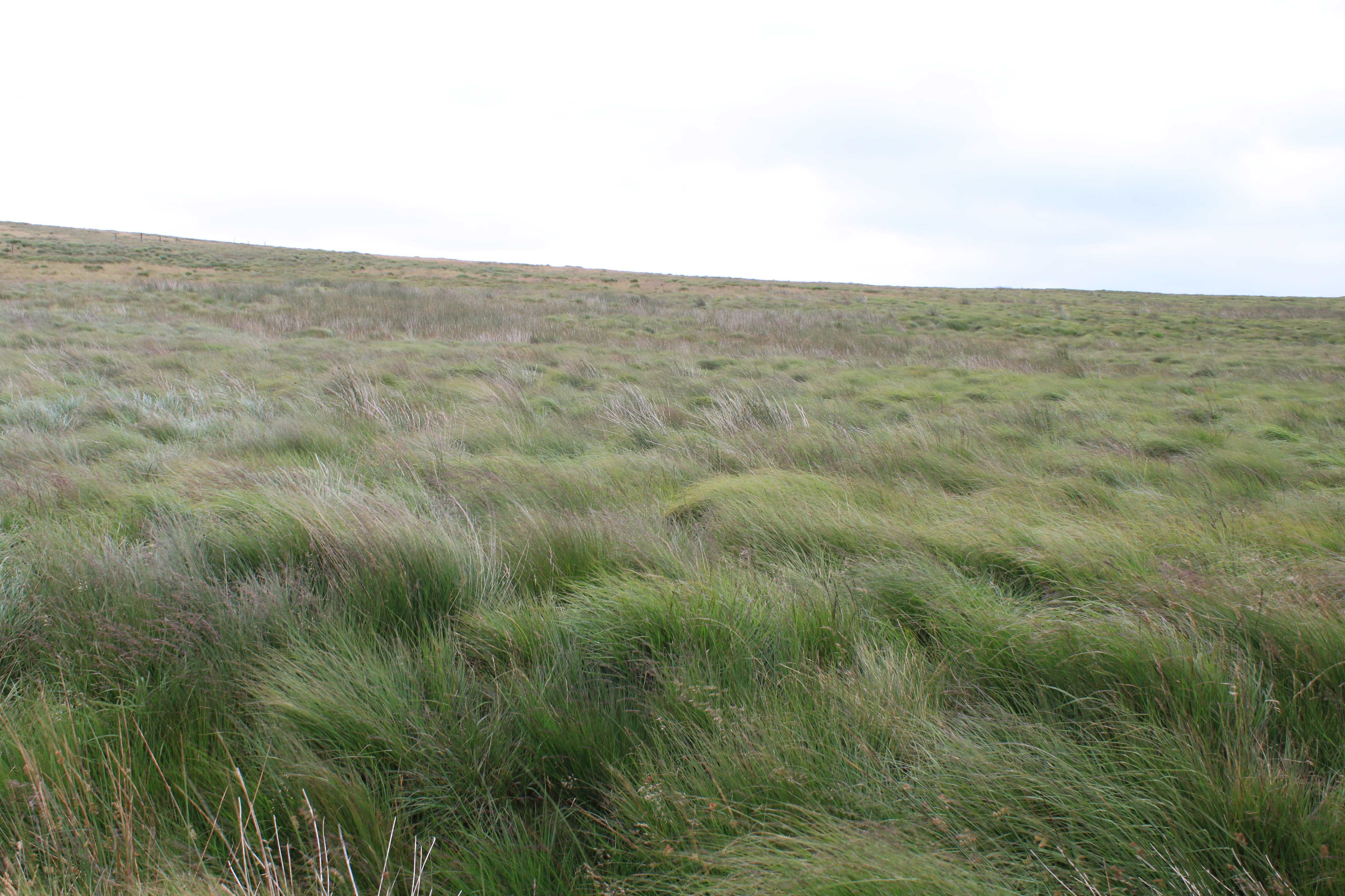
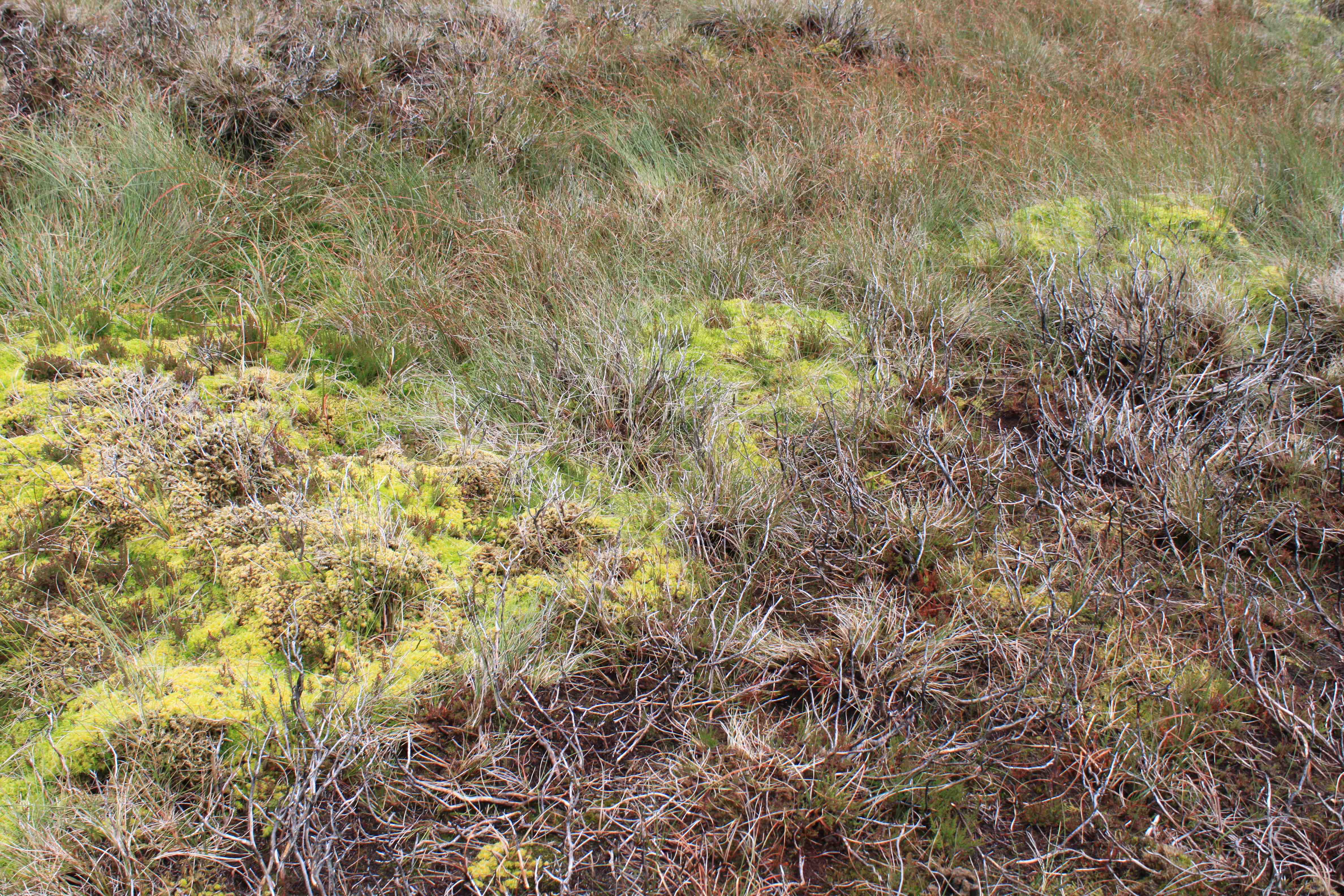
We couldn’t find very much, because most of it was very degraded. And what there we did find was very species poor. But the photo below shows a small patch we came across.
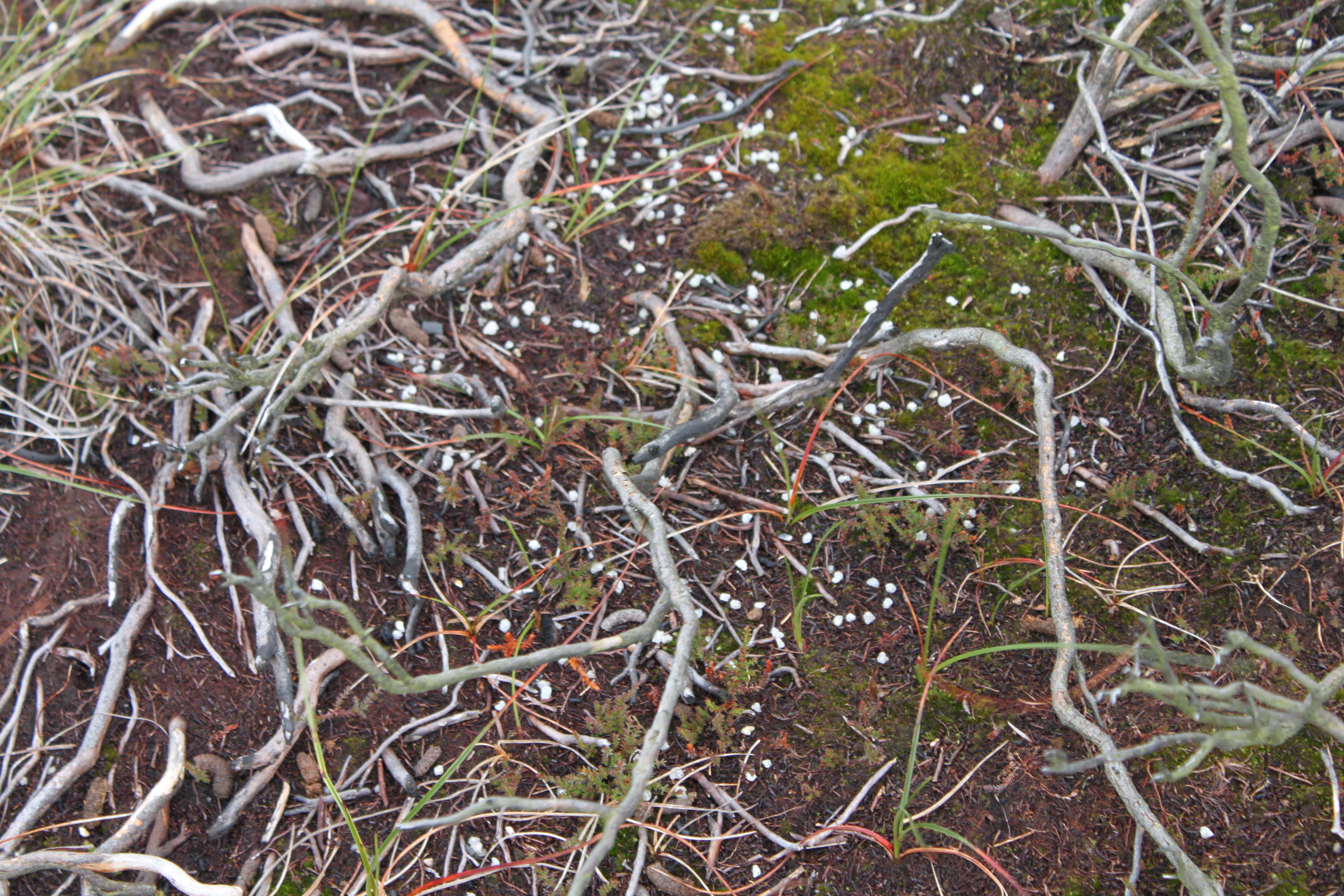
The photo below shows what healthy blanket bog looks like, in the Peak District. It is properly wet, with big mounds of sphagnum moss.
Blanket bog conservation
According to the House of Commons Environmental Audit Committee, Walshaw Moor, (which Widdop Moor is part of) is
“an area of blanket bog, wet heath and dry heath in the South Pennines Site of Special Scientific Interest. (This area is also a Special Area of Conservation (SAC) under the EU Habitats Directive and a Special Protection Area (SPA) under the EU Birds Directive).”
The Environmental Audit Committee noted “concerns” about Natural England’s enforcement policy in relation to such protected sites, since Natural England dropped a case against Walshaw Estate that it had been pursuing about 40+ cases of conservation breaches (including drainage) to Walshaw Moor.
“From the information published by Natural England to date, it remains unclear how the issue of the alleged illegal damage (including drainage) of SSSI/SAC/SPA habitats is being addressed under the agreement reached with Walshaw Moor Estate Limited.”
The Natural England website says,
“An active programme of peat re-wetting has also been agreed, so that blanket bog restoration can take place.”
This is all well and good, but it only applies to historic grips – constructed before the site was designated an SPA and SAC. It doesn’t require blocking of the unconsented drainage and grips that Walshaw Moor Estate has constructed since it bought the moor in 2002.
Agreement between Walshaw Estate and Natural England
The terms of consent for the new 25 year agreement between Natural England and Walshaw Estate cover, among other things:
- Specific rotations for burning different habitats (dry heath, degraded blanket bog, active blanket bog, sensitive areas- where no burning is allowed)
- Mapping – to identify where the different habitats are by 1 March 2013, or failing that, December 2013 at the latest
- Maintenance of existing infrastructure is permitted – but not enlargement or change of location – and no maintenance of moorland drainage is permitted except right next to surface roads/tracks, walls and around grouse butts
- Gritting for grouse is permitted “in compliance with applicable laws or codes”
- Use of vehicles – vehicles may be used for grouse management & shooting, sheep and stock management, estate management etc, but “if the ground or vegetation is damaged as a result of vehicle passage, use of that route will cease immediately until vegetation has recovered.”
Burning, drainage and track building
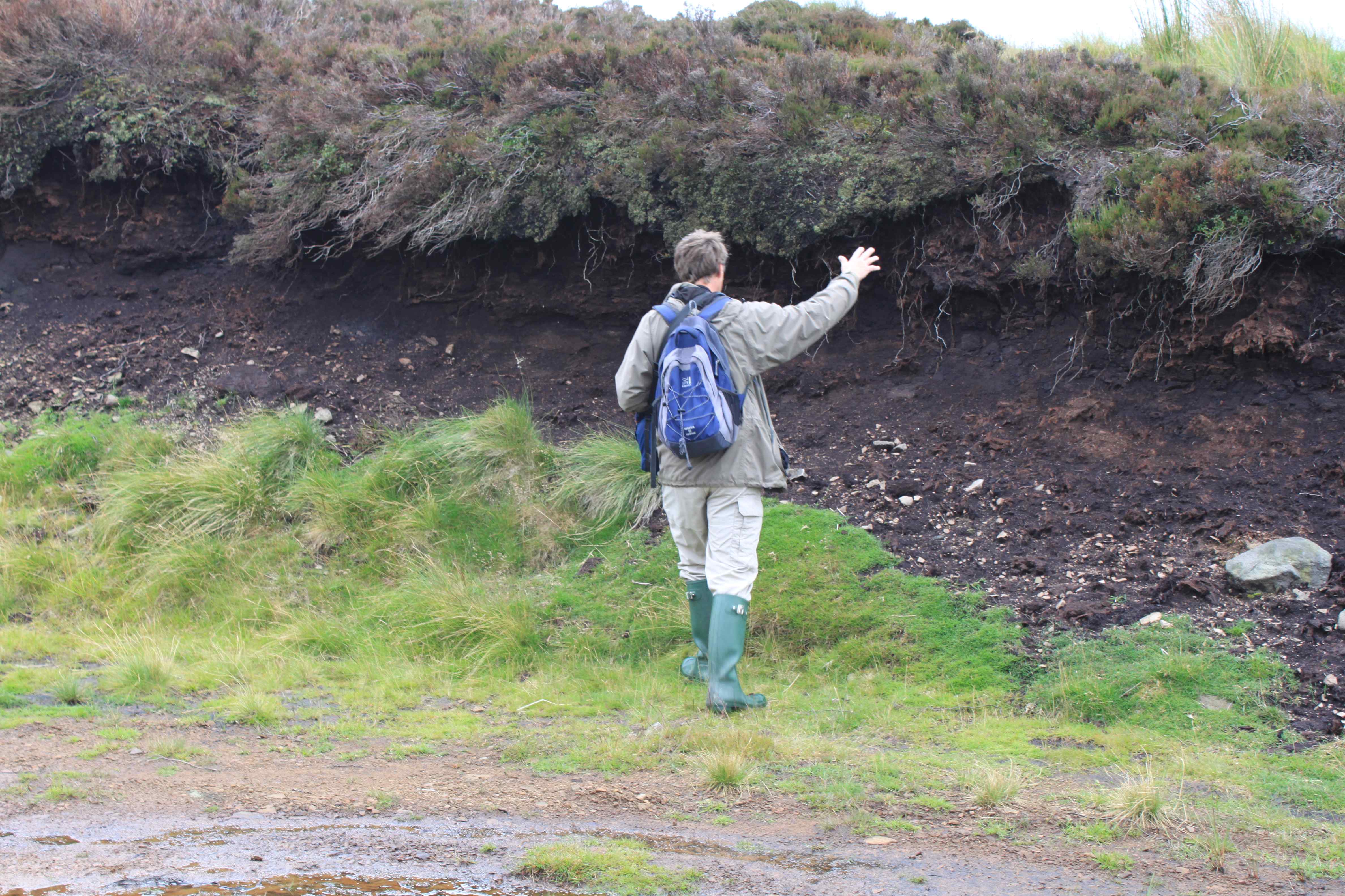
The first thing you see walking towards Heather Hill is patterns of burns on the hillsides. The burns are carried out every few years, rotating in patches over the hillsides. The grey patches are recent burns, where the earth is almost bare and dead heather stems lie like pale skeletons.

In other greener patches, which are older burns, fresh shoots of grass are coming through.

The hillsides are burnt to make the vegetation suitable for either sheep or grouse. Sheep find mature moor grass (molinia) unpalatable – it’s rough and full of silica.
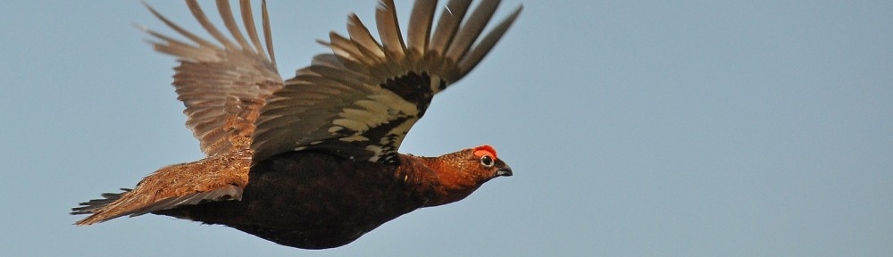
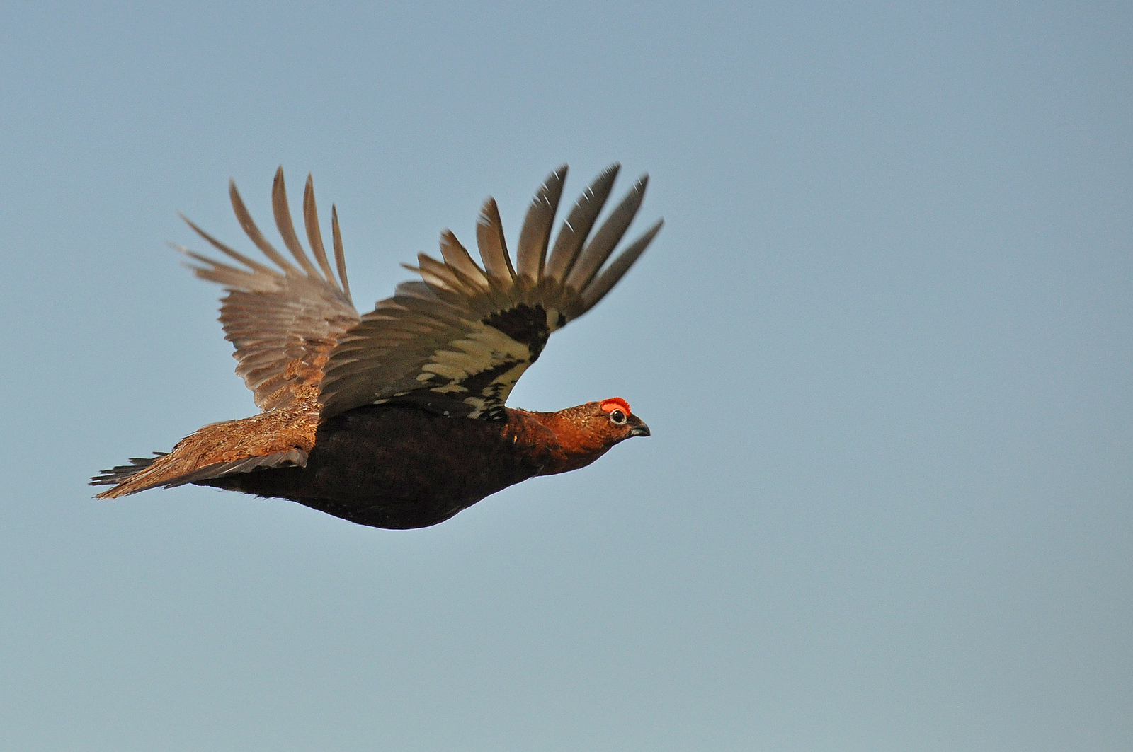
They need the new tender grass that grows after burning. And grouse can’t survive in long heather -they need short heather to nest in and raise their young – so this too is burnt off.
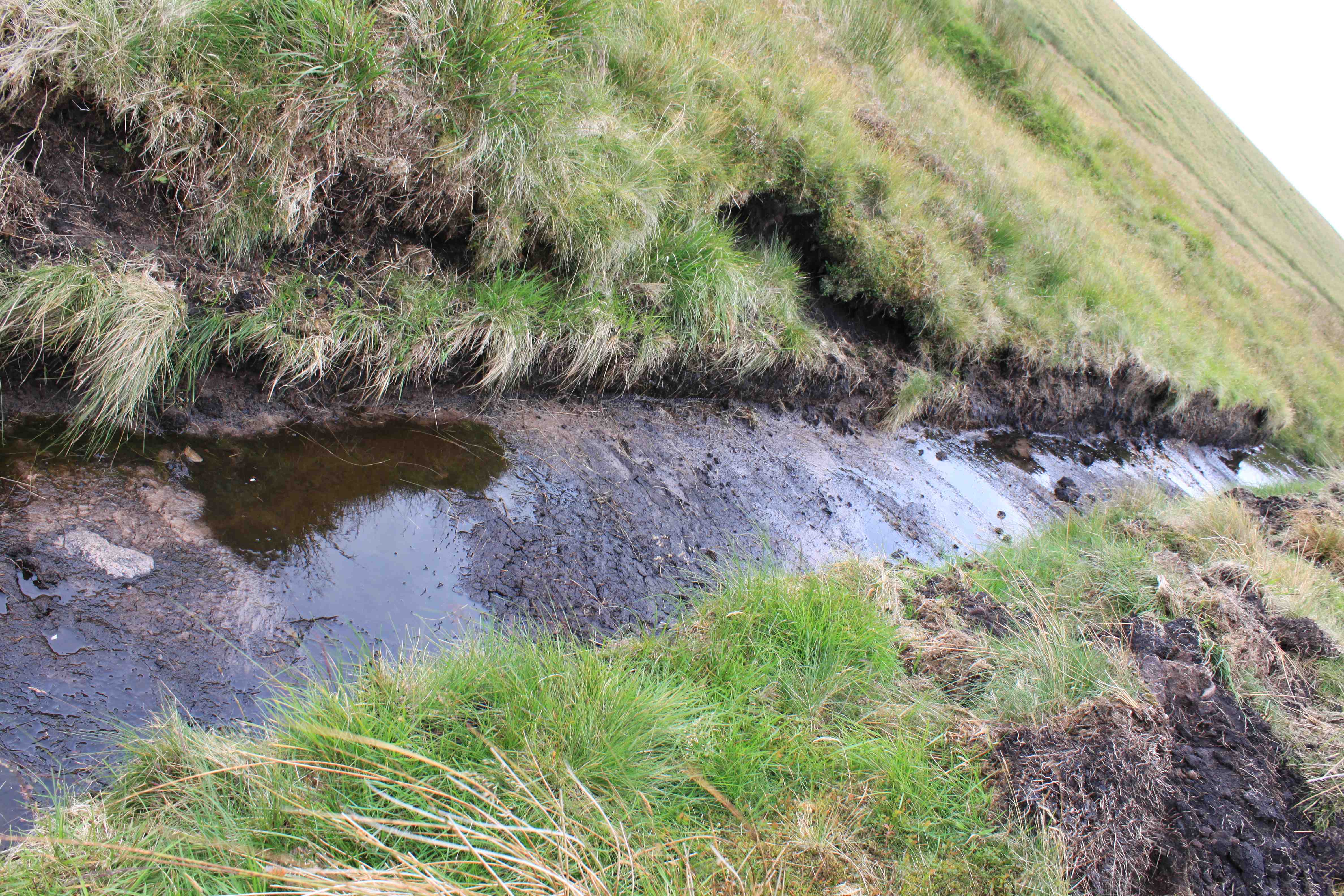
As you walk along a new track, you see heavy machinery and large drainage pipes, obviously waiting to be installed somewhere nearby.


Walking further along the (very new) track, you start to see loads of drainage ditches – some in the process of being constructed, some dating back a while. Where the track has been built , at times deep peat has been gouged out, leaving deep banks of bare peat.
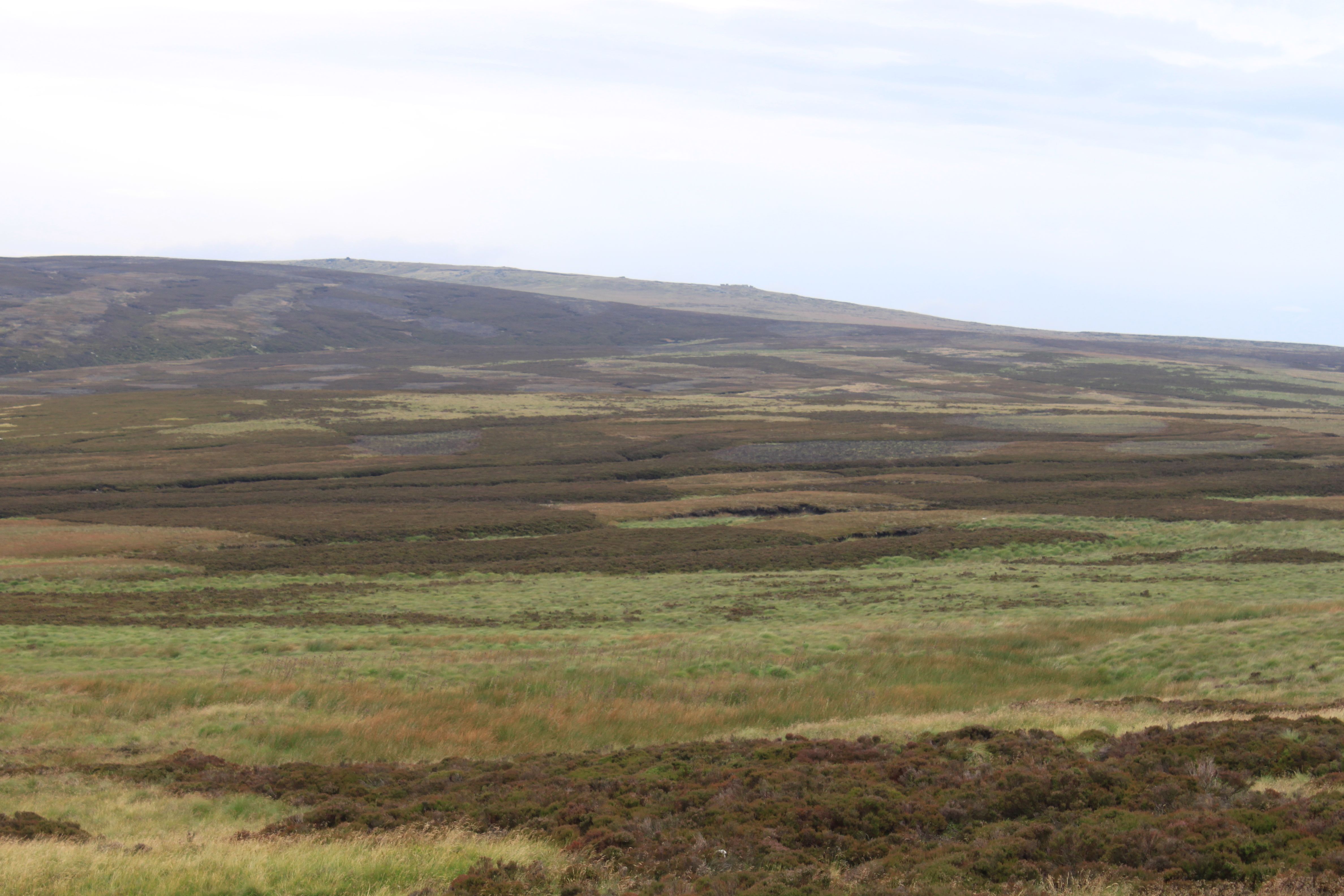
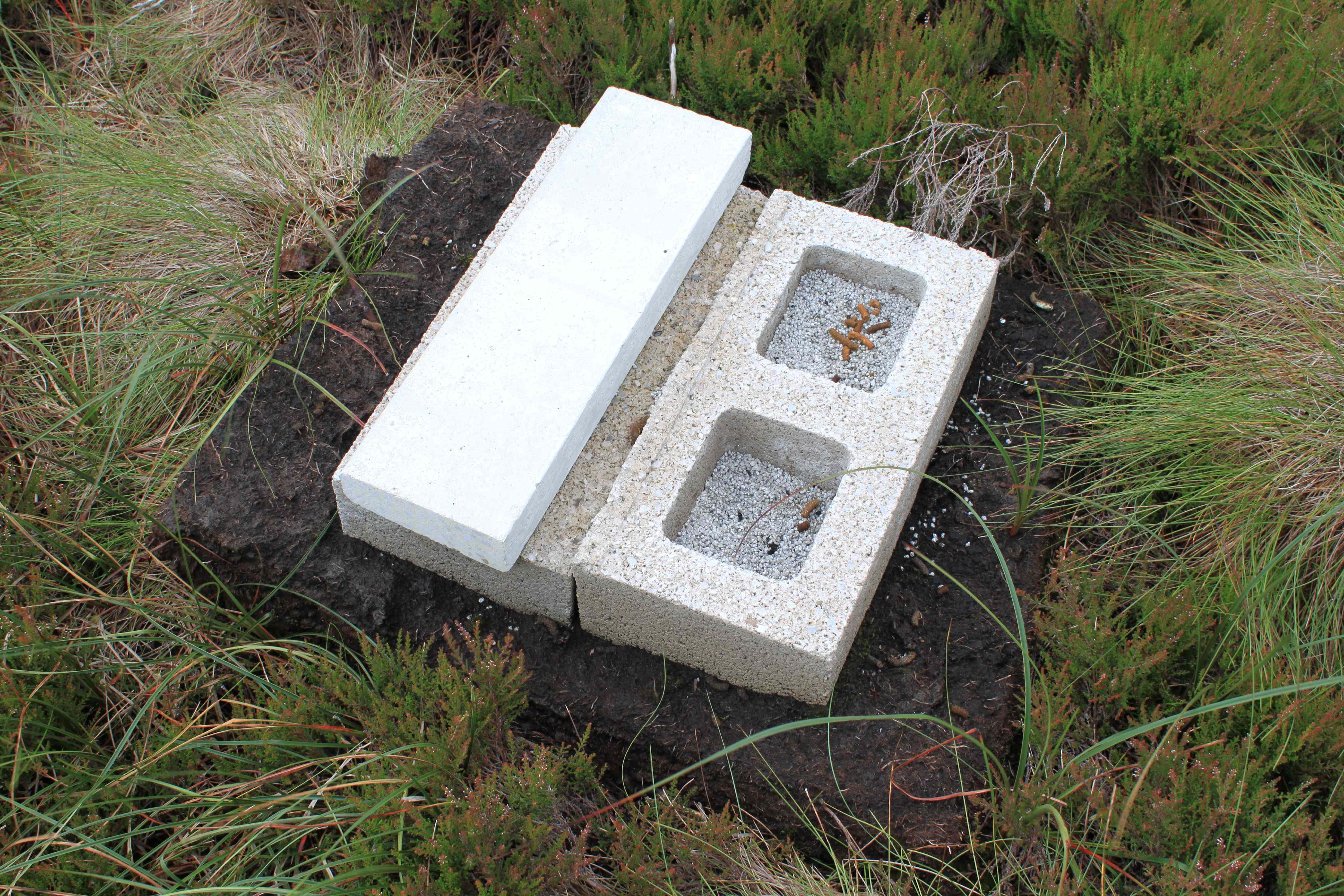
Across the valley, the hillsides are blotched and scarred with patches of burnt vegetation, tracks that have been built up the hillsides, ditches – or grips, as they’re called and wheelruts from gamekeepers’ trips in their landrovers to stock up the white boxes of grouse grit (which is usually full of insecticide to kill nematode worms that grouse are prey to).

The track ends in a rough car park, where grouse shooters and gamekeepers can park their cars – and a lot of exposed deep peat. When you think that peat is formed at a rate of about 1millimetre/year, you realise that you are looking at about 2,000 years of natural history here, that is rapidly being undone through the actions of Walshaw Moor Estate that are eroding the peat.

Climbing up Heather Hill, we found caterpillar tracks in the peat, then came across a row of grouse butts sunk into the ground. This is where the grouse shooters sit and wait for the beaters to scare the grouse into the air, and then shoot them.

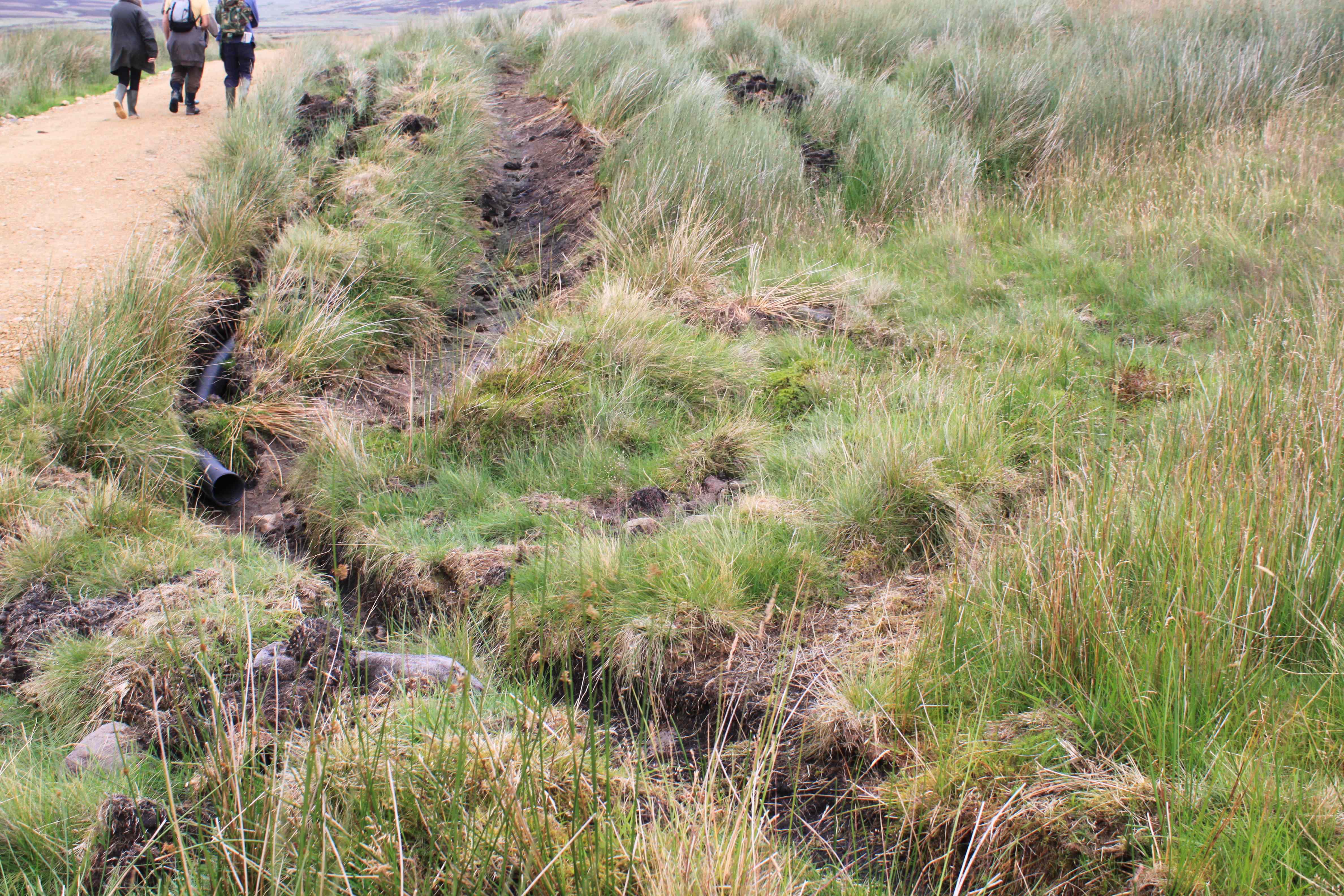
Right on the top of Heather Hill, it should all be blanket bog. But the top is riddled with ditches every ten yards or so. And heather is replacing the blanket bog plants, as the peat becomes too dry to support them. This must be an example the degraded blanket bog referred to in the Terms of Consent between Natural England and Walshaw Estate.
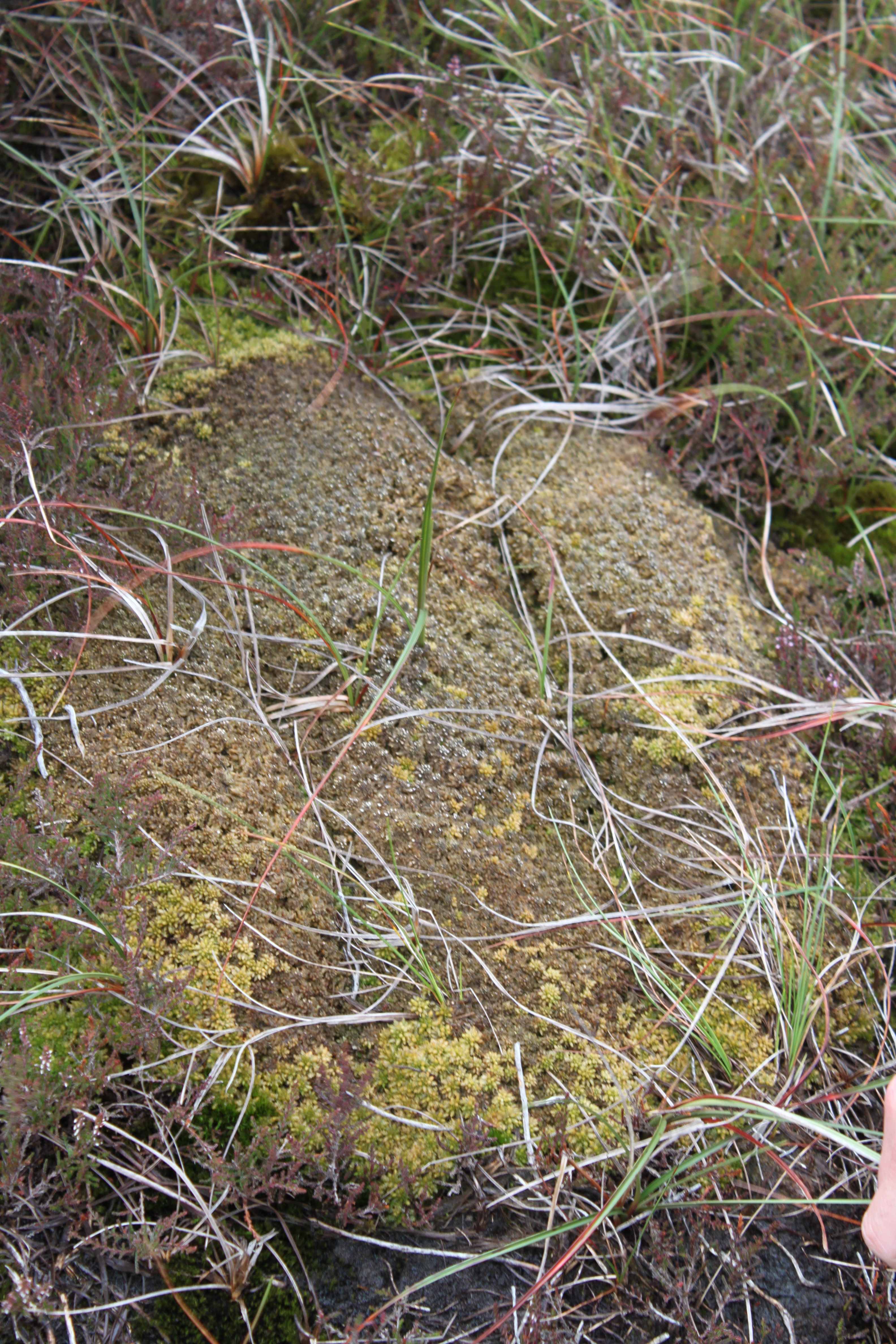
We searched for a long time before finding any sphagnum moss, which is the blanket bog’s signature plant. Its key feature is its sponginess and ability to absorb water. But the first clump of sphagnum moss we found was dying and dry. We only found small clumps, somehow managing to hang on in their degraded habitat, but encroached upon by heather growing up through it.
It is the sphagnum that forms the peat in a healthy, active blanket bog – when the old sphagnum dies (from the bottom up), it becomes waterlogged, is preserved in the anaerobic (airless) conditions under water, and forms the top layer of peat. This happens at a rate of about 1 millimetre/year. It is this top layer of peat that is very absorbent and capable of holding a lot of rainwater. However, when sphagnum is killed off, whether by burning or draining or both, the blanket bog stops being an active blanket bog and becomes degraded or damaged. New peat is no longer formed. This process is very clearly explained in a video a Blanket bog restoration video from North Wales.
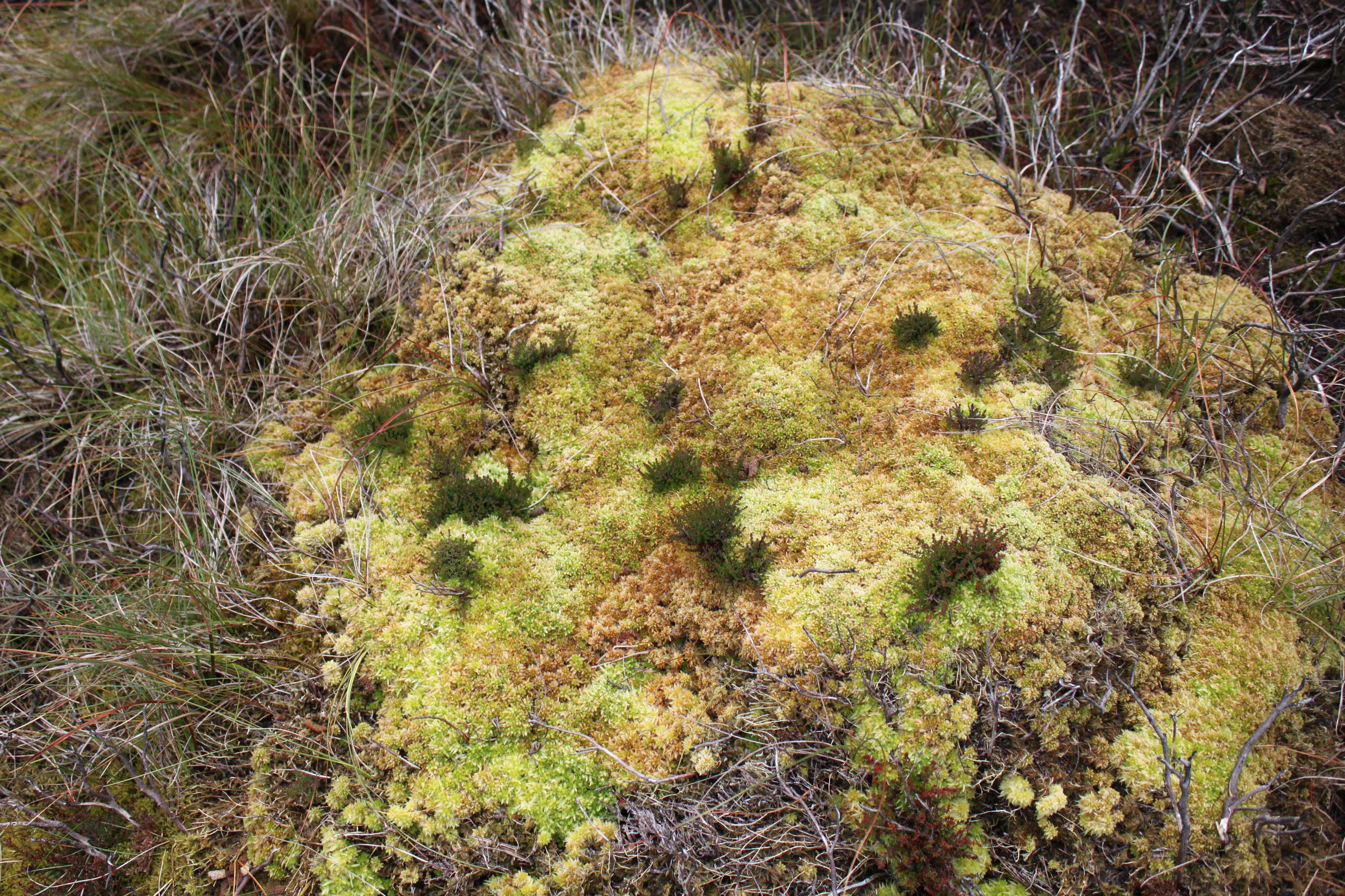
Below is a photo of a healthy Sphagnum moss carpet in a Peak District blanket bog.

Only small patches of active blanket bog remain on Heather Hill.
This destruction and degradation of the protected habitat that is the watershed for Hebden Water is being carried out mostly so that a few people can shoot grouse for a few weeks a year, starting on August 12th. How wrong is that? According to Walshaw Moor Estate, if it continues to expand its grouse shooting operations as planned, by 2020 that will be £31.8million worth of wrong – this is the income the grouse shooting business plans to generate.

Took a stroll over the Southern end of the estate to-day. I followed the relatively recently widened track following the drain supplying upper Gorple reservoir. This is a pretty good track of rollered sandstone hardcore and is apx. 8ft wide. It follows the drain to end in a rough parking area to the South West of Raistrick Greave. From here is a line of 12 shooting butts stretching in a line heading broadly South There are a number of recently dug (clearly imprinted caterpillar tracks were quite visible) drainage channels ran from points close to the new buts down to Clegg Clough. Each was bridged by sections of wide duckboarding in order I presume to make access a little easier for the sportsmen. The channels were dug to a depth just below the level of the vegetation and each carried a noticeable flow of water; impossible for me to quantify. One wonders whether the water flow will eventually increase the depth of these channels. The butts had the appearance of being new though vermin traps crossing older water courses were quite rusty, maybe they had been there for much longer.
Sad to say I saw no wildlife other than two grouse and a crow. (Three weeks ago I spent about 5 minutes observing what I believed to be a harrier circling the dam end of Gorple lower. This could have been a buzzard, not too sure of the difference in flight).